SITE LOCATION PLAN
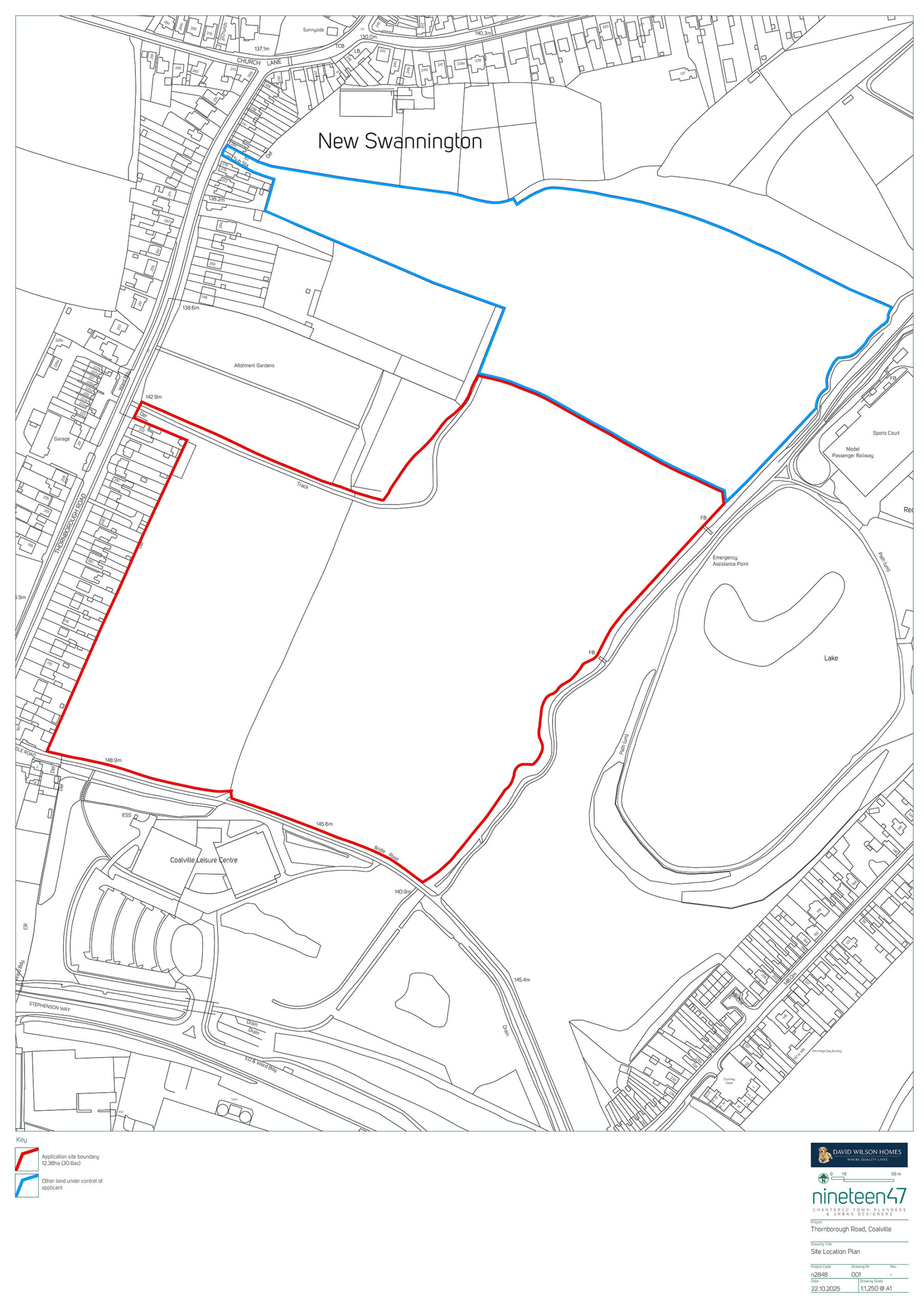
The Site comprises approximately 12.38 hectares (30.6 acres) of agricultural fields located north of Coalville. There is an existing hedgerow which separates the site into two parcels The Site is bordered by Thornborough Road to the west, agricultural fields to the north, Hermitage Recreation Ground to the east and Whitwick and Coalville Leisure Centre to the South.
The western part of the Site is relatively flat and the eastern part of the Site slopes down towards Hermitage Recreation Ground. The Site can currently be assessed by agricultural vehicles from Thornborough Road. Coalville High Street is approximately 1.1 miles south of the Site and the edge of Whitwick is approximately 0.3 miles north of the Site. There are a significant number of services and facilities nearby within Coalville and Whitwick.